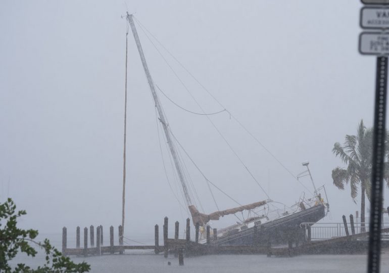
As powerful Hurricane Milton nears the Florida coast, forecasters are carefully charting its winds on the five-step Saffir-Simpson scale. But there’s no easy way to categorize the storm surge that’s expected to ravage ocean-front communities.
[time-brightcove not-tgx=”true”]
Storm surge—the rise in seawater level caused solely by a storm—can bring dangerous floodwaters into coastal areas. Researchers found the phenomenon was responsible for 11% of direct hurricane-related deaths from 2013 to 2022.
Read More: The Science Behind Why Hurricane Milton Is So Powerful
Forecasters used to include storm surge in the five-step Saffir-Simpson scale used to describe hurricane winds, but they removed it in 2009, switching to a system of color-coded maps and targeted warnings that tell specific communities how much water storms are expected to send their way. That’s resulted in narrower, “more surgical” evacuation orders, said Jamie Rhome, deputy director of the U.S. National Hurricane Center, like the ones that Florida officials have issued for Hurricane Milton.
“I remember a day when a storm like this would have practically sent the entire state scrambling,” Rhome said of Hurricane Milton. “It would have absolutely resulted in the evacuation of all of Tampa Bay and St. Petersburg. Now, you’re seeing that they have a big evacuation, but not everyone is being evacuated, and you’ve seen that with past storms, too.”
But that also means that some people in the region are still getting used to how to assess their risk without relying on the categorization system. And in some ways, the new system has also made it more complicated for people to quickly analyze the danger they face. That’s happening at a time when the Tampa area is facing its biggest hurricane threat in a century and some 6 million Florida residents live in counties that have issued mandatory evacuation orders.
“It does take time to train and educate people and get them to trust these newer techniques,” Rhome said of the new ways that storm surge is broken down.
The most devastating impacts from Hurricane Milton will likely come from its surge and its heavy rains, and not from its winds. Milton is expected to make landfall on the west coast of Florida Wednesday night. If it arrives at high tide, the National Hurricane Center warns Milton could bring as much as nine feet (2.7 meters) of water into the Tampa Bay region.
Read More: How Meteorologists Are Using AI to Forecast Hurricane Milton and Other Storms
The exact surge total could increase the larger Milton gets. Its tropical-storm-force winds already extended for more than 250 miles as of Wednesday afternoon, with more growth expected in the coming hours.
Leave a comment


